Description
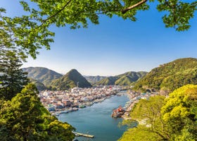
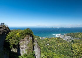
At Nagatoro Iwadatami, the scenic layered rocks represent Nagatoro in Chichibu, Saitama Prefecture. The area is covered by a vast, natural rock formation that is 80 meters wide and 500 meters long. The currents of the Arakawa River eroded crystalline schists in the area, creating a fault valley and rock terraces. The formation is called ”iwa-datami” as it resembles tatami mats covering floors. In the vicinity, you will find circular potholes created by the torrents of the Arakawa River, as well as strata and faults of various shapes. Nagatoro is often called the ”window to the earth” as you can observe the earth's crust from above the ground. Many scientists from all over Japan visit this area. On the opposite side of Iwadatami is a 100-meter cliff, called Chichibu Sekiheki, the name of which came from a famous scenic spot by the Yangtze River in China. From a downstream tour boat, you can view the water running down the cliff forming the Myojin Falls. It takes 80 minutes to get there on a Seibu Ikebukuro Line express train from the Ikebukuro Station travelling to the Seibu Chichibu Station. You will also have to transfer to the Chichibu Tetsudo Railway and travel for another 20 minutes to the Nagatoro Station.
Location Information
-
- Address
-
Nagatoro, Nagatoro-machi, Chichibu-gun, Saitama, 369-1305
-
- Nearest Station
-
Nagatoro Station
・ Chichibu Railway
5 minutes on foot
-
- Phone Number
-
0494-66-0307Available languagesonly in Japanese
-
- Closed
- None
Recommended Spots in Area
- Visiting
- Eating
- Shopping
- Lodgings
-
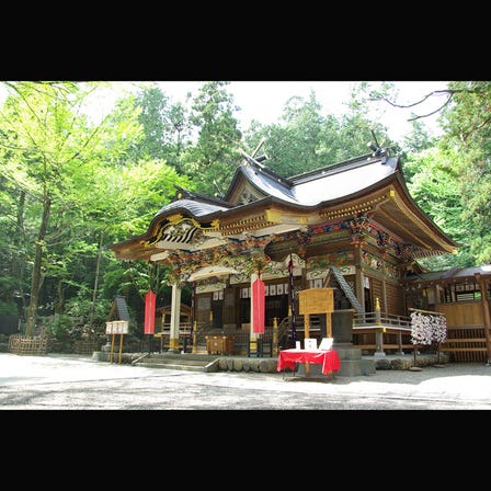 Hodosan ShrineSaitama SuburbsShrines
 -
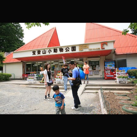 Hodosan Zoo ParkSaitama SuburbsZoos, Aquariums & Botanical Gardens
 -
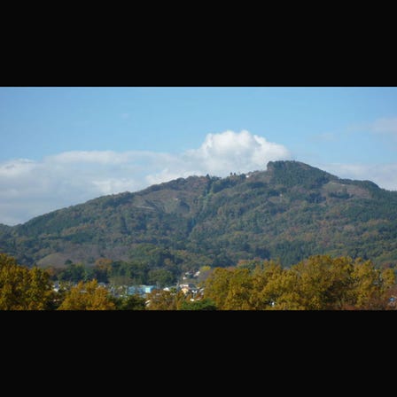 HodosanSaitama SuburbsForests & Mountains
 -
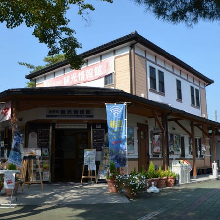 Nagatoromachi Tourist Information CenterSaitama SuburbsTourist Information Centers
 -
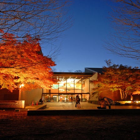 Saitama Museum of Natural HistorySaitama SuburbsOther Museums